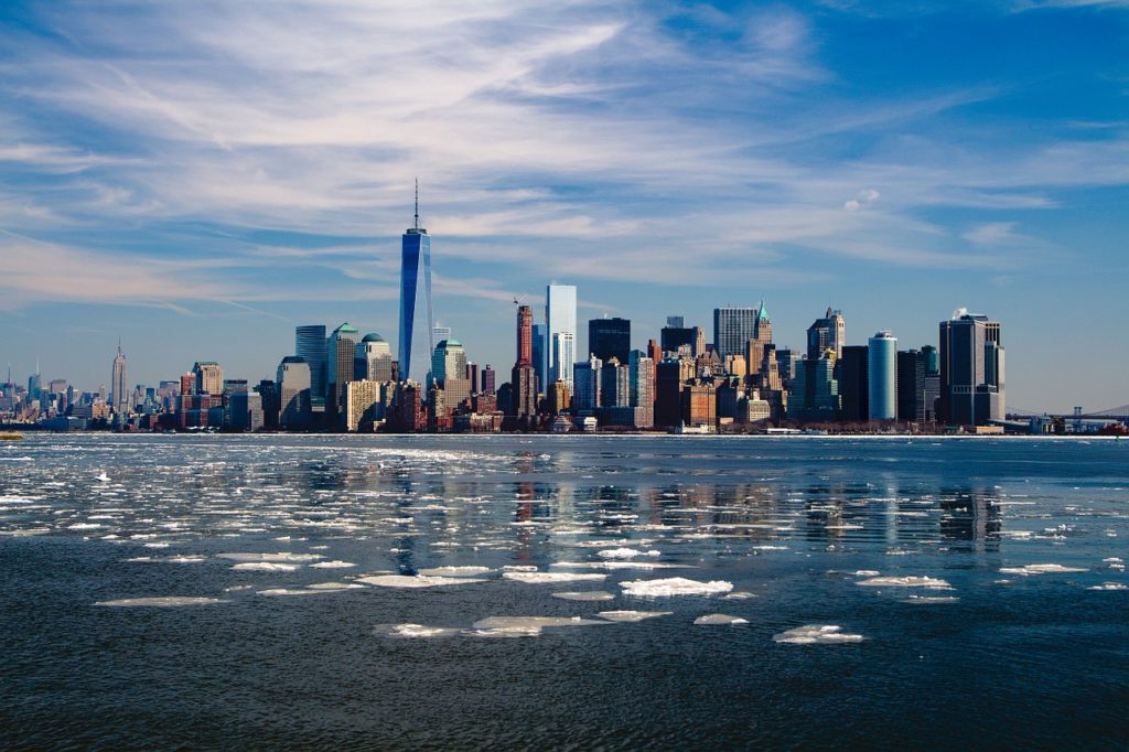
Sea-level rise is one of the most pressing challenges for coastal cities such as New York. Image source: Pixabay.
Coastal cities are especially vulnerable to sea-level rise and New York City is no exception. A new interactive illustration by Landscape Metrics, called Advancing Waters, shows the impact of increasing sea levels on the city as it visualizes the number of people and public facilities that would be inundated if current projections hold true.
CityLabWhy not share this article?